Real Estate Drone Photography in Middle Georgia
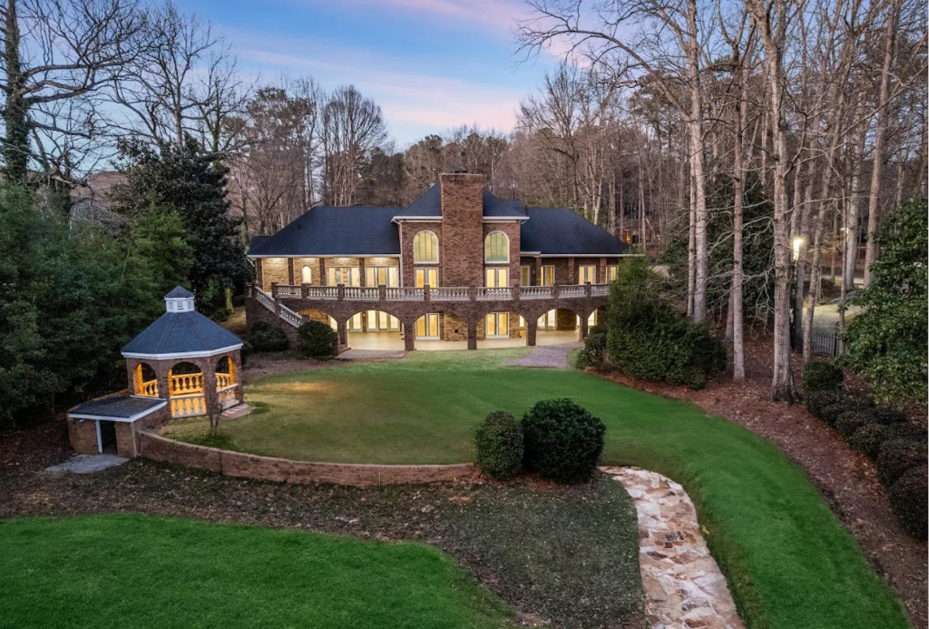
Elevate your property listings with stunning aerial imagery. From neighborhoods and farmland to commercial properties — we capture it all from above.
Real Estate Drone Photography in Middle Georgia
Elevate your property listings with stunning aerial imagery. From neighborhoods and farmland to commercial properties — we capture it all from above.
Why Agents & Owners Choose Aerial Photography
Drone photography provides context that ground-level photos can't — showing property boundaries, surrounding neighborhoods, nearby amenities, and the full scope of land and commercial sites.
Showcase property scale and boundaries
Highlight neighborhood context and surroundings
Capture farmland, acreage, and large lots
Elevate commercial property marketing
What You'll Receive
High-Resolution Aerial Photos
Showcase properties, neighborhoods, and land from stunning perspectives.
Drone Videography
Smooth, cinematic drone video clips for listings and virtual tours.
Edited Clips & Quick Delivery
Professional editing with fast turnaround so your listing goes live sooner.
How It Works
Schedule Your Shoot
Call or message us. We'll find a time that works — often within 24–48 hours.
Weather & Airspace Check
We verify FAA airspace clearance and weather conditions before every flight.
Capture & Deliver
On-site shooting with transparent drafts, followed by edited delivery on your timeline.
Ready to Get Started?
Call us or send a message — we're available 24/7.