Construction Drone Services & Ortho Mapping
Precision aerial documentation for construction sites across Middle Georgia. Track progress, map sites, and deliver clear stakeholder updates.
Construction Drone Services & Ortho Mapping
Precision aerial documentation for construction sites across Middle Georgia. Track progress, map sites, and deliver clear stakeholder updates.
The Value of Drone Services for Construction
Track Project Timelines
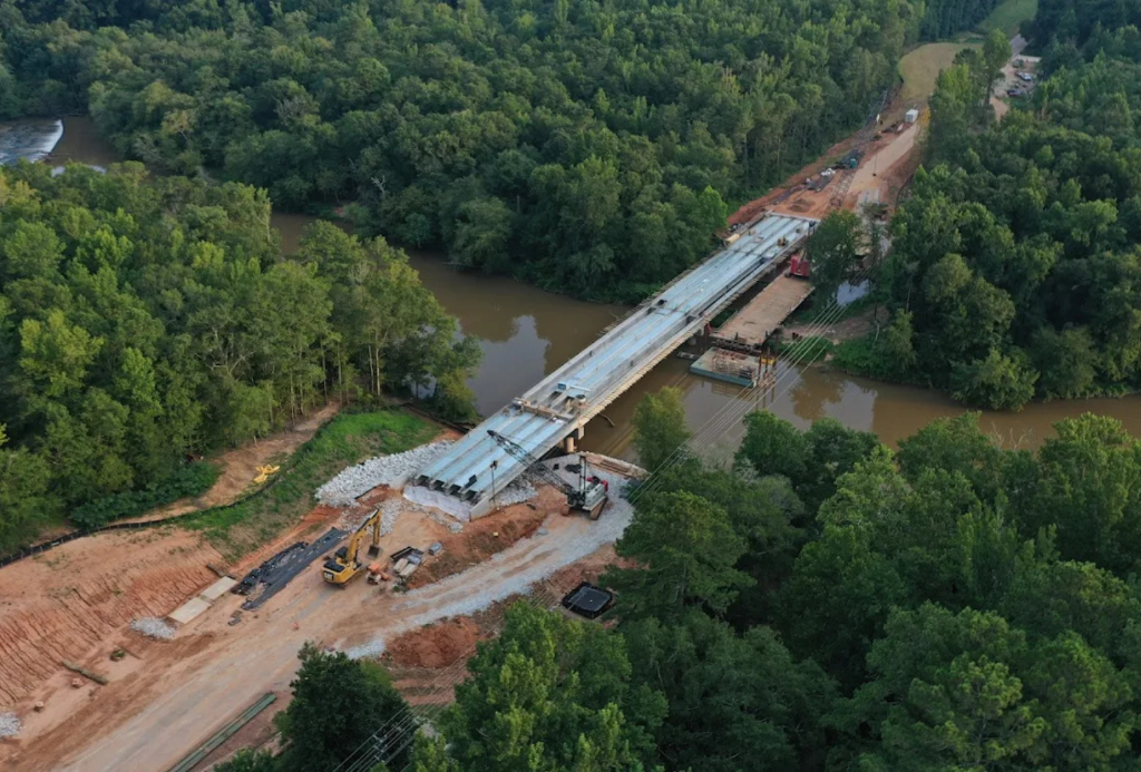
Regular aerial documentation shows progress over time — ideal for stakeholder reports.
High-Res Site Documentation
Capture every detail of your site from above with precision aerial photography.
Stakeholder Updates
Deliver clear visual updates to owners, investors, and project managers.
Safer Inspections
Reduce the need for scaffolding and manual roof inspections with drone-based alternatives.
What We Deliver
High-Resolution Imagery
Detailed aerial photos documenting current site conditions.
Orthomosaic Mapping
Stitched aerial maps for site planning, measurements, and documentation.
Progress Monitoring
Scheduled flights to capture ongoing construction milestones.
What Is Drone Mapping?
Drone mapping uses overlapping aerial photographs to create detailed orthomosaic maps — essentially a high-resolution, geographically accurate top-down image of your site. This is invaluable for site planning, measurements, progress tracking, and formal documentation.
Whether you need a one-time baseline capture or ongoing progress monitoring, Roberts Drone Zone provides precise mapping outputs to keep your project moving forward.
Ready to Get Started?
Call us or send a message — we're available 24/7.